GJØVIK DIGITAL PILGRIMS ROUTE PROJECT
Updated, August 2011
Background
In the spring of 2010, Professor Hjelsvold at Gjøvik University College came up with the idea to collect basic data from the pilgrims route through Gjøvik and some of us grabbed the idea and executed. We now have a fairly accurate track of the Norwegian western pilgrims route covering a 50km distance between Kolbu and Redalen.
Please note that all these data (including photographs) are made available under a Creative Commons License (BY-NC-SA 3.0). That means that you can use these data as long as you mention the name of the Gjøvik University College, not include them in a commercial product or context and also share backthe software or service you are using them in. For more detailed information read the license deed that are linked above.
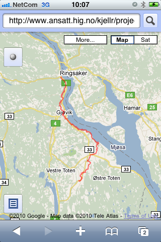
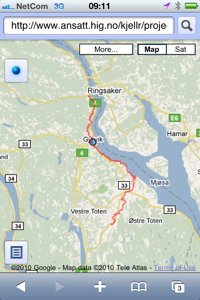
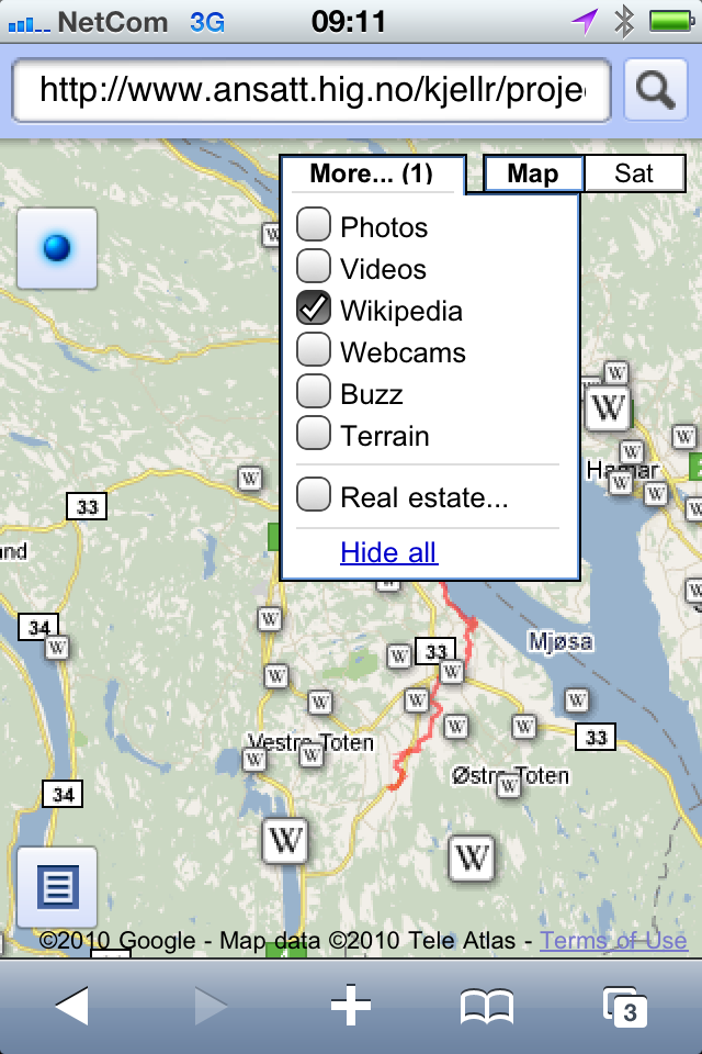
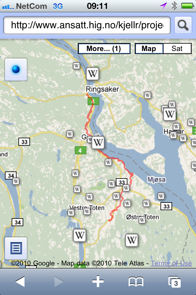
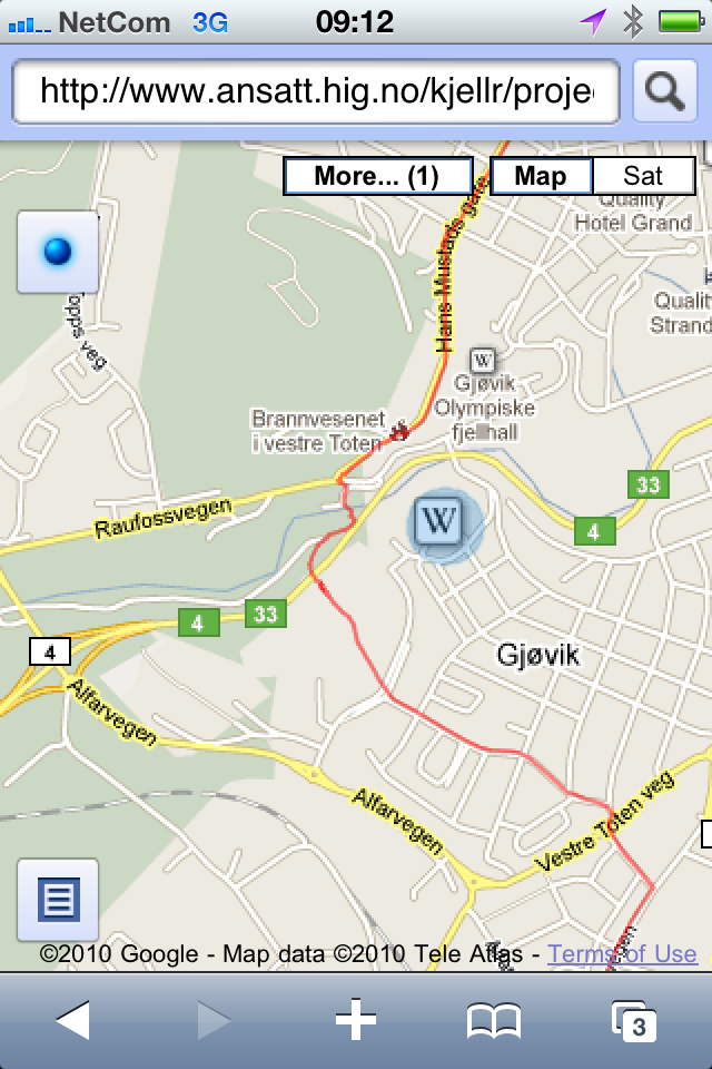
Open the final KML file in GoogleMaps.
The screenshots below was done on the Mobile Safari Browser using GoogleMaps.
The motivation to collect these data came from the desire to have a dataset that can be used by the students at Gjøvik College in the creation of new exciting projects, especially in the fields of augmented reality, digital workflow, mobile solutions geomatics.
We hope that someone - including our students, finds these sets of data useful and - preferably combined with other data sets, are able to build new interesting IT solutions.
We used maps from pilegrim.info to help us navigate the terrain.
Raw data sets
We collected the track data and pictures showing points of interest on 3 different dates:
Kallerud-Redalen (June 22, 2010 by foot (Siri Hjelsvold and Kjell Are Refsvik))
- track_gpx
- track_kml
- track_kml_via_GoogleMaps
- images_kjellare_zip
- images_kjellare_html
- images_siri_zip
- images_siri_html
Kolbu-Sørgrensen (June 23, 2010 by bike (Odd Christian Hagen))
Sørgrensen-Kallerud (July 23, 2010 by bike (Kjell Are Refsvik))
Data collection
After making sure the track data we wanted had not been collected before, we used a Garmin GPSMap 60CSX some Apple iPhone 3GS smartphones and some Nikon D5000 dSLR cameras equipped with Nikon GP-1 GPS units to collect the data. Remember to use the same geodetic system when collecting geodata. We used WGS-84, and as is it the basis of most GPS-systems including cameraphones, we suggest you do the same.
We suggest you try to collect redundant data where possible to reduce the chance of errors. Also - make sure to clean up this data before you use it. That includes both the images and the track data.
Data processing
You will need to clean up this data (geodata as well as images) and merge it together to be able to use it. We suggest using gpsbabel and imagemagick when doing so. Observe that we avoided vendor og tools lock-ins when choosing tools and file formats for the data. They data are now sustainable - able to meet our needs today, without limiting the needs of future generations. More about sustainable file formats at the Library of Congress.
Data use
These data sets was collected and contributed to Gjøvik University College - Department of Informatics and Media technology by Odd Christian Hagen, Siri Hjelsvold and Kjell Are Refsvik in the summer of 2010. They are made available to the public under the Creative Commons license BY-SA (Attribution, ShareAlike), meaning that you can use it as long as you credit Gjøvik University College (and photographers if you use any of the images) and that you share back the solutions you build with it using the same license.
Acknowledgements
- Professor Rune Hjelsvold for coming up with the idea
- Assistant Professor Sverre Stikbakke/Geomatics and GuC for GPS devices
- Siri Hjelsvold for being our local guide from Kallerud to Redalen
- Lecturer Odd Christian Hagen for spending a day cycling from Kolbu to Sørgrensen
Update, September 7, 2010
Thanks to Assistant Professor Sverre Stikbakke (Geomatics section at GuC) and his family and friends for collecting, correcting and adding to this data set, partly by adding a trail towards Balke, Toten.
Update, August 1, 2011
I used the 29th of June, 2011 to collect geodata along the Pilgrims route from Redalen, north of the city of Gjøvik to Lillehammer using my Garmin GPSMap 60 CSX. I also shot geotagged images along the way using my iPhone 4. Thanks to Professor Børre Ludvigsen for help cleaning up the track file afterwards.